Manhattan Neighborhoods: NYC Planning's 38 Areas by Name
Key takeaways
- City counts: 12 community districts and 12 community boards, per NYC Community Boards and the Manhattan Borough President.
- Statistical areas: NYC Planning's 2020 file lists 38 in Manhattan and 262 citywide.
- What the areas are: NYC Planning's medium-sized statistical areas for reporting census data.
- The file: NYC Planning's 2020 file holds all 38 names, their codes and their map shapes.
If you know Manhattan by name only, this page is a plain directory of the names the city itself uses. Every name on it comes from the city's own files, and every count names its source.
The move itself is a separate subject. What to know before moving to Manhattan covers how a Manhattan move runs, from the building and the street to the calendar.
What these sources name, and what they do not settle
Manhattan has 12 community districts and 12 community boards; NYC Community Boards and the Manhattan Borough President are the sources. NYC Planning's 2020 area file lists 38 Neighborhood Tabulation Areas in Manhattan and 262 citywide. These sources give no neighborhood count.
The two counts, and where each comes from
NYC Community Boards and the Manhattan Borough President are the sources for the count: Manhattan has 12 community districts and 12 community boards.
NYC Planning's 2020 area file lists 38 Neighborhood Tabulation Areas in Manhattan and 262 citywide. The 38 include areas named for parks and islands, and one named United Nations.
What the file is for is reporting. NYC Planning's Neighborhood Tabulation Areas are medium-sized statistical areas for reporting census data, and the dataset page says they "are not intended to definitively represent neighborhoods".
Every area NYC Planning names, in the file's code order
NYC Planning's 2020 file names the 38 Manhattan areas and gives each a code, and the 38 rows below are those names with those codes. Each row gives the code first and then the name as the file writes it.
- MN0101: Financial District-Battery Park City
- MN0102: Tribeca-Civic Center
- MN0191: The Battery-Governors Island-Ellis Island-Liberty Island
- MN0201: SoHo-Little Italy-Hudson Square
- MN0202: Greenwich Village
- MN0203: West Village
- MN0301: Chinatown-Two Bridges
- MN0302: Lower East Side
- MN0303: East Village
- MN0401: Chelsea-Hudson Yards
- MN0402: Hell's Kitchen
- MN0501: Midtown South-Flatiron-Union Square
- MN0502: Midtown-Times Square
- MN0601: Stuyvesant Town-Peter Cooper Village
- MN0602: Gramercy
- MN0603: Murray Hill-Kips Bay
- MN0604: East Midtown-Turtle Bay
- MN0661: United Nations
- MN0701: Upper West Side-Lincoln Square
- MN0702: Upper West Side (Central)
- MN0703: Upper West Side-Manhattan Valley
- MN0801: Upper East Side-Lenox Hill-Roosevelt Island
- MN0802: Upper East Side-Carnegie Hill
- MN0803: Upper East Side-Yorkville
- MN0901: Morningside Heights
- MN0902: Manhattanville-West Harlem
- MN0903: Hamilton Heights-Sugar Hill
- MN1001: Harlem (South)
- MN1002: Harlem (North)
- MN1101: East Harlem (South)
- MN1102: East Harlem (North)
- MN1191: Randall's Island
- MN1201: Washington Heights (South)
- MN1202: Washington Heights (North)
- MN1203: Inwood
- MN1291: Highbridge Park
- MN1292: Inwood Hill Park
- MN6491: Central Park
That order is the file's own code order, not alphabetical and not a ranking.
If the area name you were given is on the list, the code beside it is the one NYC Planning's file gives that area.
What the file settles, and where the next two questions live
NYC Planning publishes the boundaries as map shapes in its 2020 Neighborhood Tabulation Areas file.
The same file gives each area a code, and the code is what you look up. In practice that is three steps:
- Find the name. The 38 rows above are in the file's code order, so read down the list until the name you have appears.
- Read the code. It is the MN number at the start of the row.
- Open the file. It is named in Sources below; search it for the code.
Two neighboring questions have pages of their own. Rent by area is one: area rents with their margins gives rent area by area, in alphabetical order, with nothing ranked. The ZIP codes are the other: NYC Health's ZIP list gives NYC Health's list of ZIP Code Tabulation Areas under its own ten area names.
Knowing which area my new address sat in made the movers' questions easy to answer.
Eric J.
I did not know the official name of my area, and the person on the phone did not mind sorting it out with me.
Miriam O.
They worked from the street address I gave them, so I did not have to explain the neighborhood names.
DeShawn I.
When you move: from the list to your block
A name from the list is not yet a move. The two pages below are where the move side of it lives. What to know before moving to Manhattan covers how a Manhattan move runs, from the building and the street to the calendar. Choosing a Manhattan neighborhood covers what the public record lets you check about an area.
From our own work: A customer who had an area name from a listing, but not yet the block, called for a quote. Our office asked for the street address and the floor, because a move is planned from the building and the block, not from the name of the area.
Found your part of Manhattan?
Keep your area's name from the list beside your full street address when you plan the move.
Frequently asked questions
How many neighborhoods does Manhattan have?
No count of neighborhoods comes from the sources this page cites. What this page can give is two counts. Manhattan has 12 community districts and 12 community boards, and NYC Community Boards and the Manhattan Borough President are named as the sources. NYC Planning's 2020 area file lists 38 Neighborhood Tabulation Areas in Manhattan and 262 citywide. Those 38 are NYC Planning's medium-sized statistical areas for reporting census data, and all 38 are named on this page.
What are the 38 areas in NYC Planning's Manhattan file?
They are the 38 Manhattan areas NYC Planning's 2020 file names, each with the code the file gives it. The area counts on this page come from that same file. All 38 names and codes are printed in full on this page, in the file's code order, which is not alphabetical and not a ranking.
Do NYC Planning's Manhattan areas match real neighborhoods?
NYC Planning's Neighborhood Tabulation Areas are medium-sized statistical areas for reporting census data. The 38 in Manhattan include areas named for parks and islands, and one named United Nations. NYC Planning publishes their boundaries as map shapes in the same 2020 file.
Where do I find an area's boundary?
NYC Planning publishes the boundaries as map shapes in its 2020 file, and the same file gives each area a code. The code is what you look up. Read it off the list on this page, then open NYC Planning's file, which is named in Sources below with its version and date, and search for the code there.
In what order are the 38 areas listed?
In NYC Planning's code order, which starts at MN0101 Financial District-Battery Park City. Each of the 38 rows carries the code NYC Planning's file gives that area.
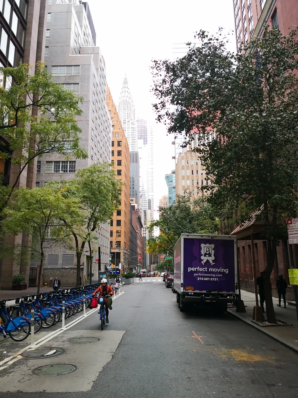
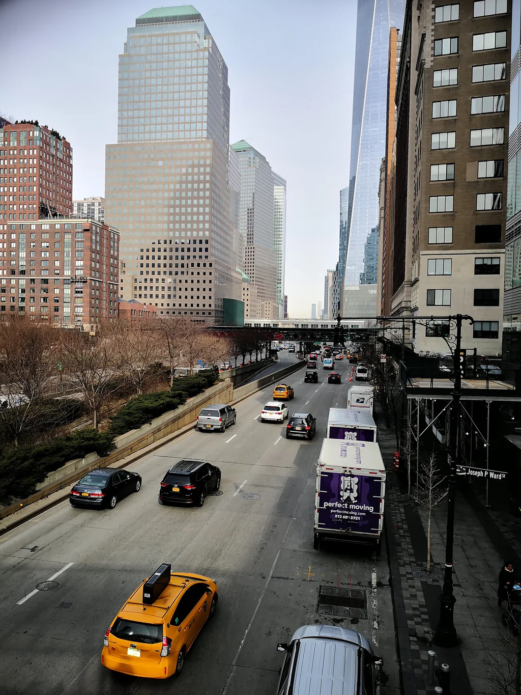
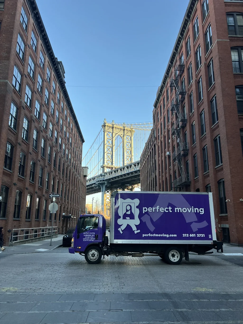
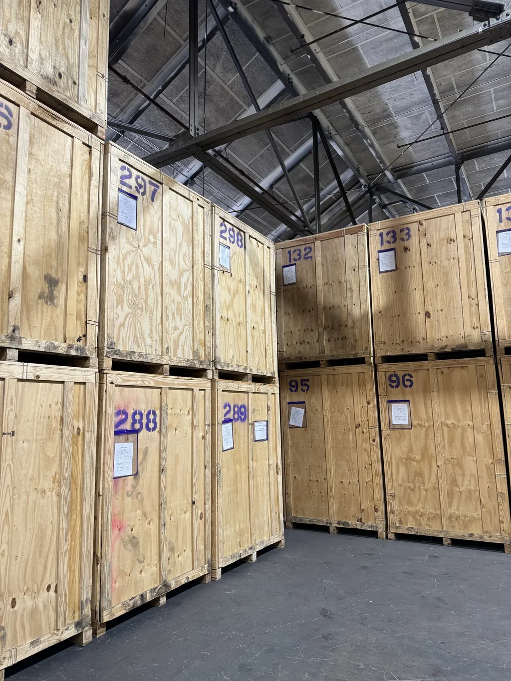
The job example comes from Perfect Moving's own work.
- NYC Community Boards: the count, read November 2, 2026.
- Manhattan Borough President, community boards: the count, read November 2, 2026.
- NYC Planning community district file: file version 26b, May 26, 2026, read November 2, 2026.
- NYC Planning's 2020 Neighborhood Tabulation Areas file: the area counts, codes and names, file version 26b, May 28, 2026, read November 2, 2026; the counts on this page are our own calculation.
- NYC Planning Neighborhood Tabulation Areas dataset page: the dataset page's own wording about what the areas are intended to represent, read November 2, 2026.
Each figure above names its source; this list gives each source's date.
William Wright, Author. William Wright is a copywriter with more than seven years writing for moving and storage companies and other local service businesses. He focuses on clear, practical guides that help people plan a move and choose a service with confidence, from neighborhood logistics to relocation planning.
Eddie Torr, Editor. Eddie Torr is an AI content editor who acts as the independent check on quality and compliance, and no draft advances until it clears him. He ties each claim back to its approved source, holds the piece to the editorial standards, and returns a ranked verdict. He does not rewrite the copy and does not approve publishing; a human reviewer makes that call.
Reed Marks, Reviewer. Reed Marks is a senior editor. Over nine years he has worked in copy editing, content review, fact-checking, and editorial QA in many different fields, and his degrees are in Journalism (bachelor's) and Professional Writing (master's). He gives each piece its final human read before it publishes: he checks that the claims stand, that the cited sources actually back them, and that the writing is clean and on-brand for search.
Reviewed on this post: Reed Marks's review covers this page against the files it cites: that no number is offered as a neighborhood count, that every area appears with its code and nothing added, and that the page tells no reader which area to choose.
- What to know before moving to Manhattan: how a Manhattan move runs, from the building and the street to the calendar.
- Choosing a Manhattan neighborhood: what the public record lets you check about an area, with links to eleven area pages.
- Area rents with their margins: rent area by area, in alphabetical order, with nothing ranked.
- NYC Health's ZIP list: NYC Health's list of ZIP Code Tabulation Areas under its own ten area names.